Skyward Beacon: The Hardcore Comeback of Optical Navigation
11/3/2026#太空灯塔#军事通信#卫星技术#中美博弈
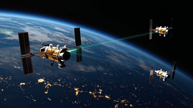
Everyone, I recently heard some big news. Our Chinese scientists spent 20 years and finally developed something called "optical navigation," which can save us from the clutches of electronic warfare. This is far more reliable than the navigation we use for taking a stroll—especially on today's battlefield, where precision strikes are king.
You might ask: if GPS is shut off and BeiDou signals are jammed, are we done for? Chinese scientists say, no, no, no—we have our own unique trick. Tsinghua University's Intelligent Microsystems and Nano-Satellite team has devoted 20 years to developing the world's first optical navigation and positioning technology and system, solving the navigation problem in satellite radio-denied environments, and even won the 2025 Special Prize for Outstanding Scientific Research Achievements in Engineering Technology. Now we no longer have to fear the electromagnetic interference that has become routine on the Russia-Ukraine and Middle East battlefields.
The principle isn't complicated: it's essentially moving lighthouses into space and making luminous satellites reliable optical signal sources. Professor Xing Fei of the team says this is just like ancient sailors watching lighthouses. Since 2004, they have launched 11 satellites, each equipped with a high-power, high-brightness, wide-coverage optical beacon source, forming a navigation constellation. After ground receivers capture these optical signals, they combine them with precise satellite orbit data and use the polar coordinate principle to achieve positioning. The advantage of light waves over electromagnetic waves is that their wavelengths are extremely short, so interfering signals cannot diffract into the receiver's field of view; they basically propagate only in straight lines. Ground receivers use narrow-field-of-view lenses aimed at beacons in a specific direction. To interfere with such a signal, you would have to be directly above it, with your line of sight aligned, conducting a point-to-point sniper attack—making impossible the kind of regional jamming that a single radio jammer can achieve over many kilometers.
However, this straight-line characteristic is also a major limitation of optical navigation. Bad weather or obstacles can affect positioning. So this is only a supplement to the BeiDou system, not a replacement. In the future, their plan is to deploy 37 satellites in a low Earth orbit of 816 kilometers, covering the area within 60 degrees north and south latitude. That is, only about 700 kilometers from the Arctic and Antarctic circles, precisely encompassing the world's major population and economic zones, so that anywhere with an optical line of sight can be positioned.
But we should also look at what others are doing. Israel's ASIO Technologies also makes navigation for military drones, capturing real-time imagery, comparing it with preloaded maps, and using AI for data matching. This approach truly does not rely on signals, but its range is small and its duration short. Australia's Advanced Navigation uses accelerometers and gyroscopes to calculate acceleration and angular velocity, then integrates over time to compute the carrier's velocity, position, and attitude. This can also be used in tunnels or underground places without light, but errors gradually accumulate.
Together, these three approaches form a complete iron triangle, jointly solving the strategic pain point of radio-suppressed environments and enhancing the resilience of modern national defense positioning, navigation, and timing (PNT) systems. In the future, multi-source fusion will be the mainstream.
Overall, optical navigation is a major breakthrough, but there is still a long way to go. We must keep working hard and not let those little tricks that interfere with us succeed!